Laser Cut Map Taken To The Next Level

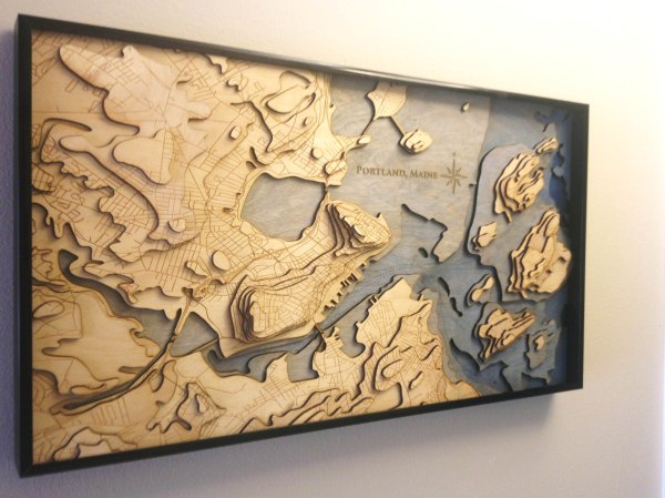
For Christmas this year, [Scottshambaugh] decided to make his family a map of their hometown — Portland, ME. Using topographical map data, he made this jaw-dropping 3D map, and it looks amazing.

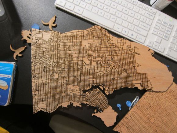
He started by exporting the elevation data of Portland using software called QGIS, a free opensource geographical information system — it’s extremely powerful software, but takes a bit to learn. Luckily, [Scott] made a tutorial for us. All you need to do is add the road data, put all the slices into an illustrator file, clean up some of the files, and you’re ready to start laser cutting.

He used 1/8th thick sheets of Baltic birch plywood, a staple material around laser cutters because it burns quickly and easily and is very flexible, which means that it’s harder to break. The map measures 12″ x 24″ — but once it’s laser cut, be ready for a multi-leveled jigsaw puzzle! The small pieces of elevation data can be very tricky!

Continue reading “Laser Cut Map Taken To The Next Level”

Using Public Data To Make Laser Cut Maps

laser cut maps

If you have access to a laser cutter you’re going to want to take a look at this brilliant tutorial. [Steven Smethurst] has figured out how to extract public map data and turn it into a file ready to be laser cut onto your choice of material.

In his example he’s using Vancouver’s Open Data Catalog to build his map using the coastal and public street data. To do this he’s using a program called TileMill which you can get for free from MapBox — it’s a great piece of software for designing your own interactive maps — and the best part is, you can import data from a wide variety of sources, such as Vancouver’s Open Data!

You can import the shape (.SHP) files from the Open Data Catalog and add them as layers into TileMill. From there you can manipulate your map, adjust the detail, and then import as a .SVG or .DXF file ready for laser cutting.

In addition to the Instructable on how to do this, he’s also recorded an in-depth video tutorial which you can check out after the break.

Continue reading “Using Public Data To Make Laser Cut Maps”