Open Source CubeSats Ease The Pain Of Building Your Own

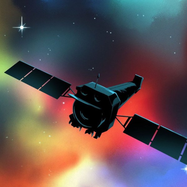
Space is hard, especially if you haven’t done it before. A growing number of CubeSats are launched by small, inexperienced teams every year, and a number of them fail due to missing some small but critical hardware or software problem. Researchers from the Robotic Exploration Lab (REx) at Carnegie Melon University have learned some of these lessons the hard way and created PyCubed, an open-source hardware and software framework for future CubeSats.

Most satellites, including CubeSats, require the same basic building blocks. These include ADCS (Attitude Determination and Control System), TT&C (telemetry, track, and command), C&DH (command and data handling), and an EPS (electrical power system). Each of these building blocks is integrated into a single PC/104 size PCB. The main microcontroller is an ATSAMD51, also used on a couple of Adafruit dev boards, and runs Circuit Python. Communications are handled by a LoRa radio module, and there is also an unpopulated footprint for a second radio. An LSM9DS1 IMU and an optional GPS handle navigation and attitude determination, and a flash chip and micro SD card provide RAM and data storage. The EPS consists of an energy harvester and battery charger, power monitor, and regular, that can connect to external Li-Ion batteries and solar panels. Two power relays and a series of MOSFETs connected to burn wires are used to deploy the CubeSat and its antennas.

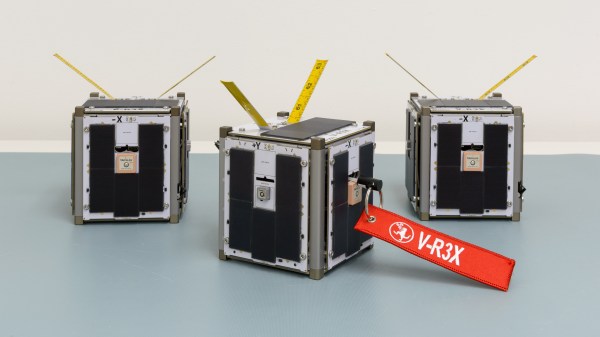
On the PCB there are standardized footprints for up to four unique payloads for the specific missions. The hardware and software are documented on GitHub, including testing and a complete document on all the design decisions and their justifications. The PyCubed was also presented at the 2019 AIAA/USU Conference on Small Satellites. The platform has already been flight-tested as part of the Kicksat-2 mission, and will also be used in the upcoming V-R3X, Pandasat, and Pycubed-1 projects.

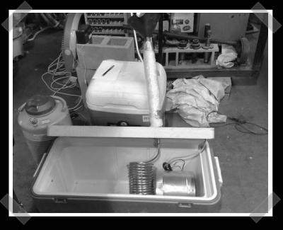
This is not the first open-source CubeSat we’ve seen, and we expect these platforms to become more common. Tracking a CubeSat is a lot less expensive than sending one to space, and can be done for as little as $25.

Watching The Global Oil Trade With Satellite Imagery

The global oil market plays a large role in the geopolitical arena, and it is often in the interest of various role players to conceal the figures on production, consumption and movement of oil. This may simply to be to gain an advantage at the negotiation tables, or to skirt around international sanctions. The website [TankerTrackers] is in the business of uncovering these details, often from open source intelligence. Using satellite imagery, they are using a simple way to monitor the occupancy crude oil storage facilities around the world.

The key is in the construction of large capacity crude oil storage tanks. To prevent the flammable gasses emitted by crude oil from collecting inside partially empty tanks, they have roofs that physically float on top of the oil, moving up and down inside the steel sides as the levels change. By looking at imagery from the large number of commercial satellites that constantly photograph earth’s surface, one can determine how full the tanks are by comparing the length of a shadow inside the tank to the shadow outside the tank. Of course, you also need to know the diameter and height of a tank. Diameter is easy, just use Google Earth’s ruler tool. Height is a bit more tricky, but can often be determined by just checking the facilities’ website for ground level photos of the tanks. Of course these methods won’t give you exact numbers, but it’s good enough for rough estimates.

Another interesting detail we found perusing the [TankerTrackers] news posts (requires sign-up) is that tankers will sometimes purposefully switch off their AIS transponders, especially when heading to and from sanctioned countries such as Venezuela and Iran. Even in today’s world of omnipresent tracking technologies, it’s surprisingly easy for a massive ship to just disappear. Sometimes [TankerTrackers] will then use imagery to track down these vessels, often by just watching ports.

Thanks for the tip [Arpad Toth]!

Photo by [Terryjoyce] CC BY-SA 3.0

Tracking The Satellites That Keep Us On Track; Monitoring GPS, Galileo, BeiDou, And GLONASS

We may not always be aware of it, but the daily function of the technological world around us is extremely dependent on satellite navigations systems. It helps the DHL guy deliver those parts you were waiting for, and keeps the global financial and communication systems running with precision timing. So, when these systems have a bad day, they can spread misery across the globe. To keep an eye on these critical constellations, [Bert Hubert] and friends set up a global open source monitoring network that aims to track every satellite in the GPS, Galileo, BeiDou and GLONASS constellations.

Local azimuth and local elevation of GPS, Galileo, and BeiDou satellites passing overhead [via @GalileoSats]
Off-the-shelf GNSS receivers are used to feed navigation messages to a machine running Linux/OSX/OpenBSD. The messages are processed to calculate the position (ephemeris), extract atomic clock timings and status codes of each satellite. Publicly available orbital data is then used to make an informed guess regarding the identity of the satellite in question.

All this data enables [Bert] to determine ephemeris discontinuities, time offsets, and atomic clock jumps. The project’s twitter feed, @GalileoSats, is very active with interesting updates. Go check it out! All the collected data is available for research purposes and the software is up on Github.

GPS hacks are never in short supply around here and another open source satellite network, SatNOGS has been featured a number of times on Hackaday after it won the 2014 Hackaday Prize.

Thanks for the tip [DarkSideDave]!

The Kickstarter Space Cannon

cannon

As far as space travel and Kickstarter is concerned, we’ve seen crowdfunding projects for satellites in low earth orbit, impacting the moon, and even a project for a suborbital rocket. This one, though, takes the cake.  It’s a gun designed to send very small payloads into space on a suborbital trajectory.

The gun itself is an 8-inch bore, 45-foot long monster of an artillery piece. While the simplest way of shooting something down the length of a barrel would be exploding something in the breech, [Richard] is doing something a little more interesting. He’s broken down the propellent charges so instead of one giant propelling a bullet down a barrel, the projectile is constantly accelerated with a number of smaller charges.

The goal of the Kickstarter is to send a small payload into a suborbital trajectory. Later developments will include putting a small rocket motor in the dart-shaped bullet to insert the payload into an orbit.

This isn’t the first time anyone has attempted to build a gun capable of shooting something into space. The US and Canada DOD built a gun that shot a 180 kg projectile to 180 km altitude. The lead engineer of this project, [Gerald Bull] then went on to work with [Saddam Hussein] to design a supergun that could launch satellites into orbit or shells into downtown Tel Aviv or Tehran. [Bull] was then assassinated by either the US, Israeli, Iranian, British, or Iraqi governments before the gun could be completed.

Two videos from the Kickstarter are below, with a few more details on the project’s webpage

Continue reading “The Kickstarter Space Cannon”

Thermal Testing Electronics For Outer Space


[3ricj] wrote up how to build your own low temperature test chamber to verify that electronics will function at the edge of the atmosphere/outerspace. He needs this for the edge of space project he’s working on. A large cooler serves as the test chamber. It’s cooled down to about 0c -42C with dry ice, then a supply of liquid nitrogen is fed into a copper heat exchanging coil to bring the chamber down to -70C.