Finding Dark Ships Via Satellite

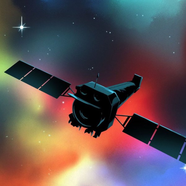
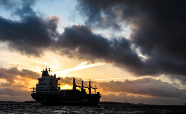
It would seem that for as long as there have been ships on the ocean, there’s been smuggling. The International Maritime Organisation requires ships to have AIS, the automatic identification system which is akin to a transponder on an airplane. However, if you don’t want to be found, you often turn off your AIS. So how do governments and insurance companies track so-called dark ships? Using satellite technology. A recent post in Global Investigative Journal tells the story of how lower-cost satellites are helping track these dark ships.

Optical tracking is the obvious method, but satellites that can image ships can be expensive and have problems with things like clouds. Radar is another option, but — again — an expensive option if you aren’t a big military agency with money to spend. A company called HawkEye 360 uses smallsats to monitor ship’s RF emissions, which is much less expensive and resource-intensive than traditional methods. Although the data may still require correlation with other methods like optical sensing, it is still cost-effective compared to simply scanning the ocean for ships.

Continue reading “Finding Dark Ships Via Satellite”

Watching The Global Oil Trade With Satellite Imagery

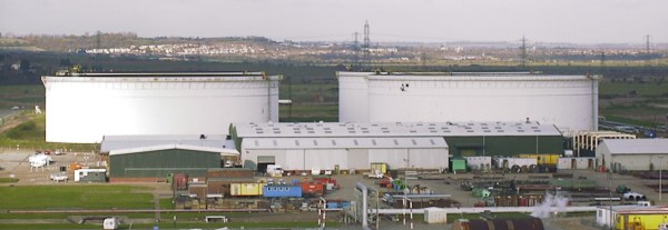
The global oil market plays a large role in the geopolitical arena, and it is often in the interest of various role players to conceal the figures on production, consumption and movement of oil. This may simply to be to gain an advantage at the negotiation tables, or to skirt around international sanctions. The website [TankerTrackers] is in the business of uncovering these details, often from open source intelligence. Using satellite imagery, they are using a simple way to monitor the occupancy crude oil storage facilities around the world.

The key is in the construction of large capacity crude oil storage tanks. To prevent the flammable gasses emitted by crude oil from collecting inside partially empty tanks, they have roofs that physically float on top of the oil, moving up and down inside the steel sides as the levels change. By looking at imagery from the large number of commercial satellites that constantly photograph earth’s surface, one can determine how full the tanks are by comparing the length of a shadow inside the tank to the shadow outside the tank. Of course, you also need to know the diameter and height of a tank. Diameter is easy, just use Google Earth’s ruler tool. Height is a bit more tricky, but can often be determined by just checking the facilities’ website for ground level photos of the tanks. Of course these methods won’t give you exact numbers, but it’s good enough for rough estimates.

Another interesting detail we found perusing the [TankerTrackers] news posts (requires sign-up) is that tankers will sometimes purposefully switch off their AIS transponders, especially when heading to and from sanctioned countries such as Venezuela and Iran. Even in today’s world of omnipresent tracking technologies, it’s surprisingly easy for a massive ship to just disappear. Sometimes [TankerTrackers] will then use imagery to track down these vessels, often by just watching ports.

Thanks for the tip [Arpad Toth]!

Photo by [Terryjoyce] CC BY-SA 3.0

Automate The Freight: Maritime Drone Deliveries

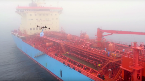
Ships at sea are literally islands unto themselves. If what you need isn’t on board, good luck getting it in the middle of the Pacific. As such, most ships are really well equipped with spare parts and even with raw materials and the tools needed to fabricate most of what they can’t store, and mariners are famed for their ability to make do with what they’ve got.

But as self-sufficient as a ship at sea might be, the unexpected can always happen. A vital system could fail for lack of a simple spare part, at best resulting in a delay for the shipping company and at worst putting the crew in mortal danger. Another vessel can be dispatched to assist, or if the ship is close enough ashore a helicopter rendezvous might be arranged. Expensive options both, which is why some shipping companies are experimenting with drone deliveries to and from ships at sea. Continue reading “Automate The Freight: Maritime Drone Deliveries”