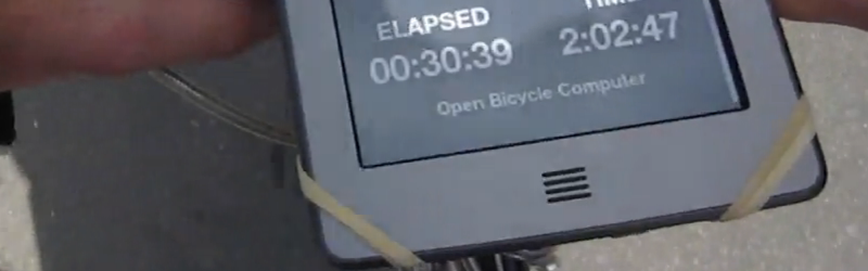
[David Schneider] had trouble seeing his bike computer in the sunlight and wanted a navigation solution that would be both readable and not require a smart phone. In good hacker fashion, [David] married a Raspberry Pi and a Kindle Touch (the kind with the E-ink display). The Kindle provides a large and easy-to-read display.
[David] was worried about violating the DCMA by modifying the Kindle. Turns out, he didn’t have to. He simply used the book reader’s Web browser and set the Pi up as a wireless access point. One clever wrinkle: Apparently, the Kindle tries to phone home to Amazon when it connects to a wireless network. If it can’t find Amazon, it assumes there’s no valid network and treats the network as invalid. To solve this issue, [David] causes the Pi to spoof the Kindle into thinking it gets a valid response from Amazon.
The other work around was to change how the Python application on the Pi updates the screen. [David] found that without that optimization, the constant redrawing on the E-ink display was annoying. The Pi-related hardware includes a GPS, some reed switches, and a WiFi dongle.
We’d love to adapt this idea for our motorcycles. Maybe a project for when it gets too cold to ride.


nice, phones home to amazon.
That is the whole model of the kindle, the inbuilt bookselling. It’s no secret. Basically a kindle is a portal device to amazon. A physical terminal to their business.
Less risk, I think, of someone just lifting the whole bit of kit while you go in for a cup of coffee developing something based around a Re-Paper module (or similar) i.e. http://www.adafruit.com/products/1346
Because I just got a kindle 7th gen (kindle touch 2) for the price of that board. And thats only cause I was picky. These run linux and support a serial port. Its a lot more hardware for the same price. Camouflage it in a soft bag with cutouts, maybe even a seat sensor: Get up and it goes black.
“[David] was worried about violating the DCMA by modifying the Kindle.”
Big Gubment outa’ control…
4500 federal crimes and counting, and they don’t require you to know about them or intend to commit a crime to be guilty.
https://www.google.com/url?sa=t&source=web&rct=j&url=http://judiciary.house.gov/_cache/files/e886416b-82d6-43f9-8d5d-68c44fc590cd/113-44-81464.pdf&ved=0CDMQFjAHahUKEwjUl-KU-b7HAhVEph4KHUKEBN8&usg=AFQjCNFIpvOOIHxohv_R6Z7YbzzKYmmEoQ&sig2=TEwZ13ZVTFhs5pQdkObswg
The case for the Raspberry, was it homemade?
Nope. http://www.adafruit.com/products/1319
Couldn’t you just put a lens on a regular one if it’s about farsighted people having issues?
Not that it’s not a nice hack of course, although I don’t think kindles are waterproof though are they?
Brilliant, I am doing the same thing based on arduino. However the lcd I use is not good unde sunlight, so kindle solution looks good. Can you please give more detail about the html generation ?
I am a noob. I would like instructions as to ho to do this. I had a raspberry pi and I went out and bought a kindle touch for this hack. Thanks in advance. R.J. Holland
A Hiking gps device perhaps? But, the battery pack here defeats that application.
Any ideas for a BLE GPS to send position to Uploaded custom made geospatial PDFs displaying the position in real time as can be done with Avenza PDF maps? Again the phone battery drain defeats that purpose unless turning the device off in between checking.