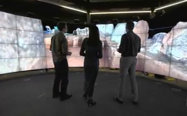
Drone technology is seeing useful application in a new field seemingly every day — so it was only a matter of time before it saw use in archaeology. And so, a team of researches in Australia are combining drone and VR modeling technology to help investigate the Plain of Jars, in Laos.
After the drone images the site, those photos are patched together by object recognition software and are reviewed in the immersive CAVE2 3D facility at Melbourne, Australia’s Monash University. Multiple surveys catalog and archive the dig at various stages and enable the archaeologists to continue investigating the site after leaving — especially useful for digs in dangerous regions. In this case, the landscape around the Plain of Jars is dotted with unexploded cluster bomblets.


