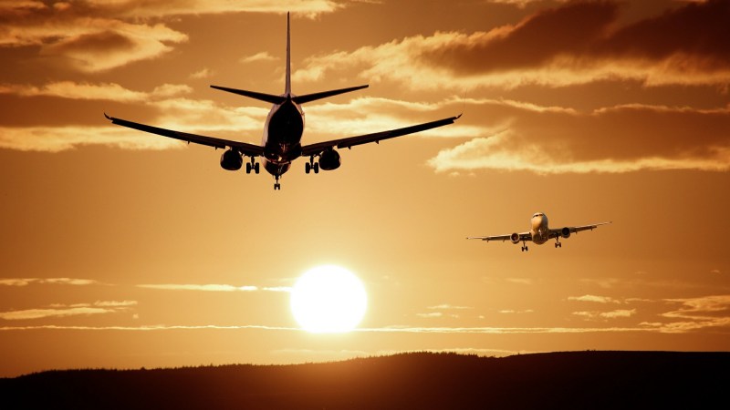
Mankind’s fascination with airplanes is unbroken. Whether you’re outside with your camera, getting an actual glimpse of the aircraft, or sitting at home with your RTL-SDR dongle and have a look at them from a distance, tracking them is a fun pastime activity. Provided, of course, that you are living close by an airport or in an area with high enough air traffic. If not, well there’s always real-time tracking online to fall back to, and as [geomatics] will show you, you can build your own live flight tracking system with a few lines of Python.
As it’s usually the case with Python, a lot of functionality is implemented and readily available from external modules, which lets you focus on the actual application without having to worry too much about the details. Similarly, plenty of data can be requested from all sorts of publicly accessible APIs nowadays. If you are looking for a simple-enough example to get into both subjects with a real-world application, [geomatics]’ flight tracker uses cartopy to create a map using Open Street Map data, and retrieves the flight information from ADS-B Exchange‘s public API.
We have seen ADS-B Exchange mentioned a few times before, for example with this ESP8266 based plane spotter and its successor. And if you’re more curious about the air traffic in your direct surroundings, it’s probably time for a DVB USB dongle.


Now do this, but for trains. I can’t count the number of times I find my way to work blocked by a stopped or slow-moving train.
Living near tracks, I have wondered if my first foray into SDR could be tracking trains, or at least getting some sort of transponder signal off of them as they passed by. I don’t know if a system exists though.
What about a flock of cyclists?
During events like the Tour Down Under [a variation of the Tour de France] roads get blocked until all cyclists have passed. If you want to take photos or support them, it’s good to know where they are. If you just want to drive – that’s useful, too.
This summer, one of the stage of the Tour de France was in my area. I was able to hear the communications from the helicopters with an RTL-SDR. I kind of stumbled on it as I was listening to planes and checking on taxis. If I remember correctly, it was near 165MHz. There was multiple channels.
It was quite fun to get news about the race directly from the crew !
here you are: https://spoorkaart.mwnn.nl/
Nice work fiddling with all the effort required to get the data into a usable state. That is the main reason I haven’t bothered making something for my home since I am in the area of SMF and McClellan field. I currently use the Flightradar24 app and it works well.
The Flight Aware app works perfectly for this…
The problem I see is that if you want multiple windows open, each is calling for data over the network. For example I like to have one window for above 12 kft, one for below 12 kft, and one for the airport below 6 kft. Thus LAN multicasting is the perfect solution. But you need a shim to convert unicast WAN to multicast LAN. Sort of like ADSNet (https://github.com/srsampson/ADSNet). Only in that solution it feeds old Air Defense Command style vector maps :-)
There is another version of aircraft tracking in python with pandas and bokeh, check it out https://www.geodose.com/2019/01/realtime-flight-tracking-pandas-bokeh-python.html