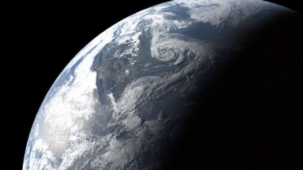
The GOES-R series of Earth observation satellites are the latest and greatest NASA has to offer. As you might expect, part of the GOES-R job description is imaging Earth at high-resolution, but they also feature real-time lighting monitoring as well as enhanced solar flare and space weather capabilities. Four of these brand new birds will be helping us keep an eye on our planet’s condition into the 2030s. Not a bad way to spend around 11 billion bucks.
 To encourage innovation, NASA is making the images collected by the GOES-R satellites available to the public through a collaboration with Google Cloud Platform. [Ben Nitkin] decided to play around with this data, and came up with an interactive website that let’s you visualize the Earth from the perspective of GOES-R. But don’t let those slick visuals fool you, the site is powered by a couple cron jobs and some static HTML. Just as Sir Tim Berners-Lee intended it.
But it’s not quite as easy as scheduling a wget command; the images GOES-R collects are separated into different wavelengths and need to be combined to create a false-color image. A cron job fires off every five minutes which downloads and merges the raw GOES-R images, and then another cron job starts a Python script that creates WebM time-lapse videos out of the images using ffmpeg. All of the Python scripts and the crontab file are available on GitHub.
Finally, with the images merged and the videos created, the static HTML website is served out to the world courtesy of a quick and dirty Python web server. The site could be served via something more conventional, but [Ben] likes to keep overhead as low as possible.
If you want to take the more direct route, we’ve covered plenty of projects focused on pulling down images from weather satellites; from using old-school “rabbit ears” to decoding the latest Russian Meteor-M N2 downlink.


