The Heavy Disco-Ball Satellite Designed To Do… Nothing

Launched in 1976, LAGEOS-1 (LAser GEOdynamic Satellite) is unusual in that it contains no instrumentation, no electronics, no power supply, and no means of propulsion. It’s spherical, weighs just under 407 kg, and looks a bit like a disco ball. It may not be accurate to say it does nothing, but unlike most satellites its role is entirely passive. It’s also one of the oldest scientific satellites still in service.

The lens-like objects covering the surface of LAGEOS-1 are corner cube retroreflectors, which have the nifty effect of always reflecting incident light right back towards its source.

Ground stations fire short laser pulses at it and measure the time it takes for the light to return, a form of time-of-flight ranging. Since LAGEOS-1’s orbit is highly stable, it provides a reliable reference point for measuring even tiny changes in the Earth itself. The size, shape, rotation, and more of our planet can be measured as a result. LAGEOS data (LAGEOS-2 was launched in 1992) has also been used in tests of general relativity.

Its orbit and construction were deliberately chosen so that atmospheric drag and other disturbances would be minimal. The simple, maintenance-free design combined with an extraordinarily stable orbit means LAGEOS is expected to circle our world for millions of years to come.

LAGEOS-1 also contains a message to the future in the form of two identical plaques prepared by Dr. Carl Sagan just in case there’s anyone around to find it some day. Check out the short 1975 video from NASA, embedded just below.

Continue reading “The Heavy Disco-Ball Satellite Designed To Do… Nothing”
Long-Theorized GPS Weakness Exploited On Large Scale

GPS has become fairly common in our everyday lives, not only able to pinpoint our locations on Earth but also as an incredibly accurate timekeeping method. But since these satellites are around 20,000 km above Earth, the received signals on the surface of the planet can be incredibly weak. This makes them prone to jamming and spoofing, a weakness of the technology that has long been known. Although attempts to mitigate these problems have been ongoing, there has recently been a large-scale attempt to interfere with these signals that put all mitigation efforts to the test.

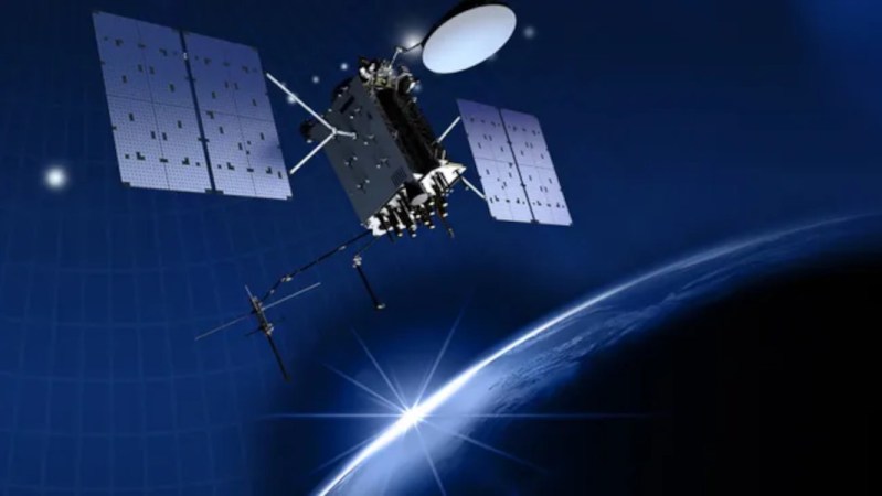
One proposed way to improve resilience is to supplement existing GNSS systems with low-Earth-orbit navigation satellites. In this example, a company called Xona is using a satellite called Pulsar-0 that operates in low-Earth orbit (LEO) and provides positioning and timing signals that are around 100 times stronger than standard signals from GPS/GNSS satellites. It is able to receive GPS signals as well, ensuring the two systems agree on one another. And, because Pulsar’s navigation signals originate from LEO and are much stronger than conventional GNSS signals, Xona expects them to be significantly more resistant to jamming.

Beyond geopolitics, spoofing GPS has some applications in finding legendaries in Pokemon Go as well as making it fairly trivial to steal GPS-guided drones.

Deep Dive Into Sputnik

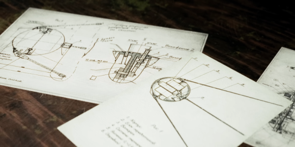
If you are an American of a certain age, you know the Soviet Union launched the first satellite, Sputnik, beating the United States to orbit. You might even remember ham radio operators tuning into the satellites beeping. But you probably haven’t heard much about the team that built the vehicle, the problems they had, or the clever design choices they made. [Hoog] has a video that details the birth of Sputnik. You can see the video below.

The original plan was to launch a massive space lab, but it proved too ambitious. Keep in mind that in the late 1950s, you didn’t have tiny computers, high-density power sources, or advanced materials, and no one really knew what to expect in the Earth orbit environment. Even the viability of radio from the ground to orbit wasn’t a given. But Sputnik’s 1-watt transmitter did the job.

Continue reading “Deep Dive Into Sputnik”

A Nebula Straight From The Stars To Your Table

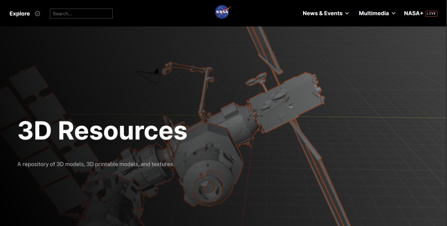
Space may truly be the final frontier, but maybe that frontier can be closer than you thought. Pictures of nebulae and planets bring the colorful sights of deep space right to your screen. You may even have models of some of the rockets used for those missions on a shelf. However, did you know that you could even have a model of those nebulae or planetary surfaces from [NASA]?

While we have covered some distributed models from [NASA] here before, the catalog has expanded far past what 2016 had in store. Additionally, the catalog has been sorted into a more user-friendly, filterable interface than a simple GitHub repository. Most models even have a description attached, giving some basic background information on what the Crab Nebula is, for example.

There could always be more; there don’t appear to be many models of the space shuttle or some other expected files, but what is there is incredible. Some non-3D model files can also be found from star maps to full planetary maps.

While this file repository is cool and all, it’s not all [NASA] does. When not sending rockets deep into space for cool pictures, [NASA] has to make sure the Moon doesn’t explode. Was that a possibility at some point? Of course it has been!

Accidental Climate Engineering With Disintegrating Satellites

For many decades humankind has entertained the notion that we can maybe tweak the Earth’s atmosphere or biosphere in such a way that we can for example undo the harms of climate change, or otherwise affect the climate for our own benefit. This often involves spreading certain substances in parts of the atmosphere in order to reflect or retain thermal solar radiation or induce rain.

Yet despite how limited in scope these attempts at such intentional experiments have been so far – with most proposals dying somewhere before being implemented – we have already embarked on a potentially planet-wide atmospheric reconfiguration that could affect life on Earth for centuries to come. This accidental experiment comes in the form of rocket stages, discarded satellites, and other human-made space litter that burn up in the atmosphere at ever increasing rates.

Rather than burning up cleanly into harmless components, this actually introduces metals and other compounds into the upper parts of the atmosphere. What the long-term effects of this will be is still uncertain, but with the most dire scenarios involving significant climate change and ozone layer degradation, we ought to figure this one out sooner rather than later.

Continue reading “Accidental Climate Engineering With Disintegrating Satellites”

Skimming Satellites: On The Edge Of The Atmosphere

There’s little about building spacecraft that anyone would call simple. But there’s at least one element of designing a vehicle that will operate outside the Earth’s atmosphere that’s fairly easier to handle: aerodynamics. That’s because, at the altitude that most satellites operate at, drag can essentially be ignored. Which is why most satellites look like refrigerators with solar panels and high-gain antennas attached jutting out at odd angles.

But for all the advantages that the lack of meaningful drag on a vehicle has, there’s at least one big potential downside. If a spacecraft is orbiting high enough over the Earth that the impact of atmospheric drag is negligible, then the only way that vehicle is coming back down in a reasonable amount of time is if it has the means to reduce its own velocity. Otherwise, it could be stuck in orbit for decades. At a high enough orbit, it could essentially stay up forever.

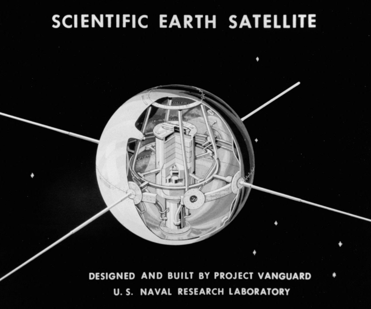
Launched in 1958, Vanguard 1 is expected to remain in orbit until at least 2198

There was a time when that kind of thing wasn’t a problem. It was just enough to get into space in the first place, and little thought was given to what was going to happen in five or ten years down the road. But today, low Earth orbit is getting crowded. As the cost of launching something into space continues to drop, multiple companies are either planning or actively building their own satellite constellations comprised of thousands of individual spacecraft.

Fortunately, there may be a simple solution to this problem. By putting a satellite into what’s known as a very low Earth orbit (VLEO), a spacecraft will experience enough drag that maintaining its velocity requires constantly firing its thrusters.  Naturally this presents its own technical challenges, but the upside is that such an orbit is essentially self-cleaning — should the craft’s propulsion fail, it would fall out of orbit and burn up in months or even weeks. As an added bonus, operating at a lower altitude has other practical advantages, such as allowing for lower latency communication.

VLEO satellites hold considerable promise, but successfully operating in this unique environment requires certain design considerations. The result are vehicles that look less like the flying refrigerators we’re used to, with a hybrid design that features the sort of aerodynamic considerations more commonly found on aircraft.

Continue reading “Skimming Satellites: On The Edge Of The Atmosphere”

Building A Low-Cost Satellite Tracker

Looking up at the sky just after sunset or just before sunrise will reveal a fairly staggering amount of satellites orbiting overhead, from tiny cubesats to the International Space Station. Of course these satellites are always around, and even though you’ll need specific conditions to view them with the naked eye, with the right radio antenna and only a few dollars in electronics you can see exactly which ones are flying by at any time.

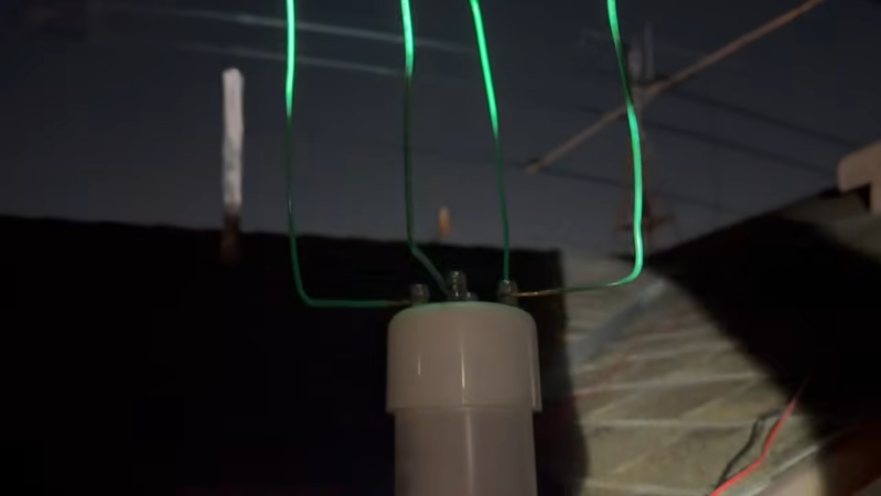
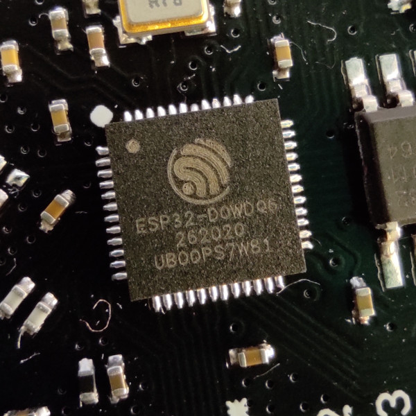
[Josh] aka [Ham Radio Crash Course] is demonstrating this build on his channel and showing every step needed to get something like this working. The first part is finding the correct LoRa module, which will be the bulk of the cost of this project. Unlike those used for most Meshtastic nodes, this one needs to be built for the 433 MHz band. The software running on this module is from TinyGS, which we have featured here before, and which allows a quick and easy setup to listen in to these types of satellites. This build goes much further into detail on building the antenna, though, and also covers some other ancillary tasks like mounting it somewhere outdoors.

With all of that out of the way, though, the setup is able to track hundreds of satellites on very little hardware, as well as display information about each of them. We’d always favor a build that lets us gather data like this directly over using something like a satellite tracking app, although those do have their place. And of course, with slightly more compute and a more directed antenna there is all kinds of other data beaming down that we can listen in on as well, although that’s not always the intent.

Continue reading “Building A Low-Cost Satellite Tracker”