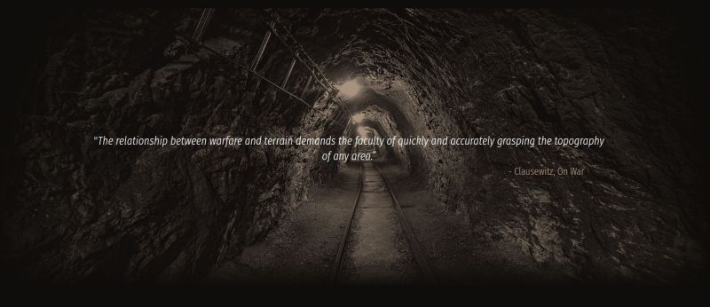
Whether it comes to rescuing people from a cave system or the underground maze of sewers, tunnels and the like that exist underneath any major city, having accurate maps of the area is always crucial to know what the optimal routes are, and what the expected dangers are. The same is true for combat situations, where such maps can mean the difference between the failure or success of a mission. This is why DARPA last year started the Subterranean Challenge, or ‘SubT’ for short.
This challenge seeks new approaches to map, navigate, and search underground environments during time-sensitive combat operations or disaster response scenarios, which would allow for these maps to be created on-demand, in the shortest amount of time possible. Multidisciplinary teams from the world are invited to create autonomous systems that can map such subsurface networks no matter the circumstances.
The competition has a ‘systems track’, which has teams developing physical systems that can perform their intended function in a physical environment, ranging from tunnels, urban underground to cave systems. The next qualification deadline is April 22, 2019, for the Tunnel Circuit in August.
In addition to the systems track, there’s also a software-only Virtual competition, which requires that algorithms and similar are developed which can successfully map a virtual environment. Both the systems and virtual tracks will have the final challenge day in 2021.
Also see the attached video trailer DARPA offers for this challenge.
If none of this tickles your fancy, there are also the US Government’s ‘Challenge’ website, which collects a range of challenges offered by government agencies, often for monetary awards.


If a passive inertial navigation can be made accurate enough, such a technology will have an impact even bigger than the GPS.
Everything that moves, from spaceships to submarines, will benefit from it. Just imagine the possibilities for a robot that is aware of its location at all times.
And if you feel the Borderland’s “guns with legs” are not cool enough, add inertial positioning and AI.
:o)
https://www.youtube.com/watch?v=ClQVeS1GTb0
:o)
Yeah, I’ve dreamt up recently a gun with reaction wheels and camera, if you are behind some wall, you can look what’s there, click target on screen, just throw the gun and it will automatically swivel and shoot what you wanted.
How do you “look what’s there”? If you can already see through the wall it seems like your problem is already solved.
You could look around with small camera and don’t risk putting out your weapon/fingers/head.
Or you could just put the gun and your camera on the same stick or length of pipe. Targeting someone’s gun or fingers is an extremely low percentage shot and you should encourage your opponent to waste ammo on such things.
The Germans had this in WWII with the Krummlauf for the Sturmgewehr 44 and the Israelis have a modern version now: https://en.wikipedia.org/wiki/CornerShot
Shooting someone’s weapon or fingers is an extremely low percentage shot and your opponent should be encouraged in such things.
You could just put the gun on the same stick or length of pipe (no fingers right?) as the camera.
The Germans had this with the Krummlauf for the Sturmgewehr 44 and the Israelis have a more modern version: https://en.wikipedia.org/wiki/CornerShot
Thanks for alternate solutions everyone. Yeah, this looks more like a solution looking for a problem. Cool but not very usable.
It seems to me that the most likely approach to work here would involve placing and moving a constellation of associated nodes in 3d space that together form a space-filling polyhedron. Each node would be designed to very precisely measure its distance from the other nodes and the geometry could be worked out mathematically. Once a mutual reading is made, a few nodes could be moved and the space could be further explored. On top of this precise structure, less precise mappings and imaging could be made to help make further understanding of the layout possible. Much effort to tie in with traditional surveying points on the surface would have to be made and all measured distances would need to be retained so calculations can be made to work out differences between subterranean measurements and the known points on the surface. Also, underground, an effort to make additional measurements that run as long as possible should be made to minimize the number of error generating steps in the model being built. It’s fascinating stuff if you ask me, the urge to explore is strong, but I’ll admit, not stronger than my desire not to have stuff fall on me or be harmed in by unknown hazards. :-)