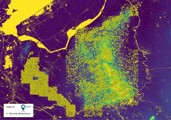
What do you do when you have a lot of LiDAR data and not enough budget to slog through it? That’s the problem the Heritage Quest project was faced with — they had 600,000 LiDAR maps in the Netherlands and wanted to find burial mounds using the data. By harnessing 6,500 citizen scientists, they were able to analyze the data and locate over 1,000 prehistoric burial mounds, including many that were previously unknown, along with cart tracks, kilns, and other items of archaeological interest.
The project used Zooniverse, a site we’ve mentioned before, to help train volunteers to analyze data. The project had at least 15 volunteers examining each map. The sites date between 2,800 and 500 BC. Archaeologists spent the summer of 2021 verifying many of these digital finds. They took samples from 300 sites and determined that 80 of them were previously unknown. They estimate that the total number of sites found by the volunteers could be as high as 1,250.
This is a great example of how modern technology is changing many fields and the power of citizen science, both topics we always want to hear more about. We’ve seen NASA tapping citizen scientists, and we’ve even seen high school students building research buoys. So if you’ve ever wanted to participate in advancing the world’s scientific knowledge, there’s never been a better time to do it.


