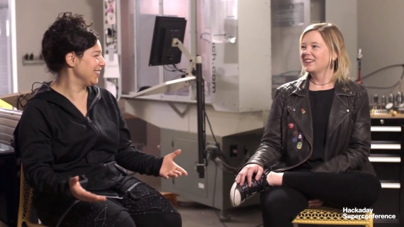
Every year at Supercon there is a critical mass of awesome people, and last year Sophi Kravitz was able to sneak away from the festivities for this interview with Katherine Scott. Kat was a judge for the 2017 Hackaday Prize. She specializes in computer vision, robotics, and manufacturing and was the image analytics team lead at Planet Labs when this interview was filmed.
You’re going to chuckle at the beginning of the video as Kat and Sophi recount the kind of highjinks going on at the con. In the hardware hacking area there were impromptu experiments in melting aluminum with gallium, and one of the afternoon’s organized workshop combined wood and high voltage to create lichtenberg figures. Does anyone else smell burning? Don’t forget to grab your 2018 Hackaday Superconference tickets and join in the fun this year!
Below you’ll find the interview which dives into Kat’s work with satellite imaging.
Planet Labs has a couple hundred cube satellites in orbit that are imaging the entire earth every day at about 3 meter resolution. The scope of that is difficult to comprehend, even after hearing that this daily snapshot includes around 1.2 million images. The trick to putting it all together into something useful is of course applying deep learning, machine learning, computer vision, and other AI tools to the problem.
As Kat discusses, the uses for this are wide ranging. The data set can be brought to bear in the business realm, like watching oil fields to see how many wells are active and then using this info to make decisions on manufacturing and investing. But there is also a lot of power in being able to monitor agricultural land on a large scale. The right observations can help improve crop yields in climates that are difficult to farm.
Satellite imagery is crucial in disaster management and also conservation. Fighting wildfires happens across geographically large regions and Planet Labs is a source of information valuable to the organizations bringing those fires under control. The conservation applications can range from recognizing illegal logging that’s hard to spot from the ground, to monitoring fishing fleets to prevent over fishing and detect illegal fishing.
Katherine Scott is now the image analytics lead at 3Scan. This company is working with microscopy and we can’t wait to discuss her move from pictures of huge swaths of land to ones of tiny biological samples when we see Kat again at this year’s con!
Want to watch more interviews from Supercon? Check out Scotty Allen talking about the markets in Shenzhen and Kristen Paget who has been hacking on carrier grade LTE hardware. Supercon is packed with fascinating people, make sure you’re one of them this November 2-4 in Pasadena!


Wow, I wonder what the downlink on this looks like.
I don’t know. But some of their marketing wank specifies “6+ terabytes a day”. and somewhere else it says “8+ year archive”.
I wonder what the server farm looks like.
> I wonder what the server farm looks like.
Servers don’t exist anymore it’s all AWS
That is a rather moronic answer considering; The AWS technology is implemented at server farms throughout
the world, and maintained by …
*woosh*
6TB a day over 8 years? Small beans compared to their big-sat competitors who also utilize AWS for storage.
Wow, how many makers see that history is repeating itself Early in wireless business,and military interests relegated experimenters to that “worthless” shortwave spectrum”, when the experimenters discover the shortwave spectrum was very useful, the merchants made huge grab for large chunks of it. Likewise LEO was considered to have no value,now that experimenters proved LEO to be very useful, for profit interests are making another land grab. Unless for profit interest using a limited resource are compelled to share images at no cost, much the public will never see them.
Is 3 meter resolution something to brag about? The free images of my property are nearly that resolution if not better damn neat Plant’s 72 cm resolution. All in al while the interview was interesting, I didn’t find out any information I can use. Please try to find a DIY type that’s doing interesting things with freely available images.
Not that I’m saying for profit merchants are all bad. In their quest of profit they do manufacture hackable products at low cast Not to mention they are the reason license free radio spectrum is available in the USA.
oops I thought I was in the bottom text box and commenting to the post, and Hackaday d0esn’t us to fix our mistakes. Sorry…
Krav and Kat, eh?
We live in an amazing time, when someone can so say “…we have close to 200 satellites and we can image the entire earth every day”
And related but almost orthogonal: We live in an amazing time, when someone can quickly mobilize the capital to build and launch a satellite constellation of this size so quickly.
Say, HaD, want to do a feature on how large-scale financial engineering works?
Great talk, very interesting.