
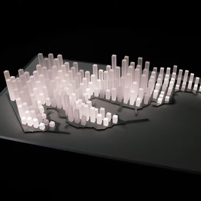
If you want to get around Monaco, a map — digital or otherwise — is probably the best way to navigate. But if you just want to appreciate the city’s form in a more artistic way, you might enjoy [Terence Grover’s] latest project—a backlit topographic map of the unique principality.
The project started with a QGIS mesh of Monaco, with the data fed through the Open-Meteo elevation API, which takes into account building heights. This was used as the basis for the heights of 179 pieces of 20 mm x 20 mm acrylic. These were assembled into a laser cut steel base, and were sanded on all sides but the base in order to allow them to diffuse light more effectively.
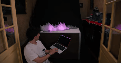
Strips of CS8812 LEDs are used to light the plastic towers, driven by a pair of Adafruit Feather RP2040 Scorpio boards. They’re fed pixel data from a Raspberry Pi 5, which runs a Flask panel accessed over an iPad. This allows control over the LED map display, showing things like civic data, highlighted events, and weather. There’s even a touch-sensitive mode that lets one paint fun patterns across the representation of the city.
We love a good artistic map, particularly when they’re full of LEDs and represent useful information.











Thank you for the feature 🙏
OH dammit, do we get those stupid emoji here too now?
For many of us in the world who know Monaco for only two things intimately tied to that country – excessive wealth that is difficult to relate to, and something they can relate to, the Monaco F1 GP, this project appears to be missing out on the latter. I found it surprising one of the greatest Formula one street circuits in the world isn’t touched upon in the build log.
Such as it is, I think this interactive physical model could be greatly improved by a pattern of LEDs that light up in real time, representing the path the cars take around the circuit.
Monaco is also classically known for princess Grace.
And now for the Ukrainian assassination attempt of course.