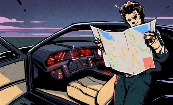
Our recent “Retrotechtacular” feature on an early 1970s dead-reckoning car navigation system stirred a memory of another pre-GPS solution for the question that had vexed the motoring public on road trips into unfamiliar areas for decades: “Where the heck are we?” In an age when the tattered remains of long-outdated paper roadmaps were often the best navigational aid a driver had, the dream of an in-dash scrolling map seemed like something Q would build for James Bond to destroy.
And yet, in the mid-1980s, just such a device was designed and made available to the public. Dubbed Etak, the system was simultaneously far ahead of its time and doomed to failure by the constellation of global positioning satellites being assembled overhead as it was being rolled out. Given the constraints it was operating under, Etak worked very well, and even managed to introduce some of the features of modern GPS that we take for granted, such as searching for services and businesses. Here’s a little bit about how the system came to be and how it worked.
Continue reading “How Etak Paved The Way To Personal Navigation”


