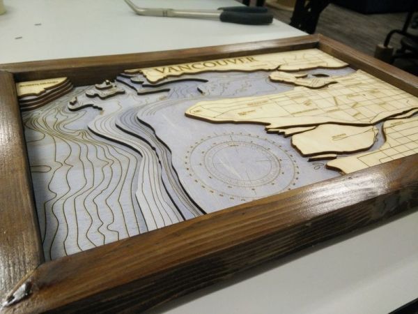
A bathymetric map is one concerning the floor or bottom of a body of water. It’s the wet equivalent of a topographical map. Combine this with humanity’s inherent taste in seaside real estate, and they can be quite attractive when done correctly. We’d say this effort from [pubultrastar] hits the mark.
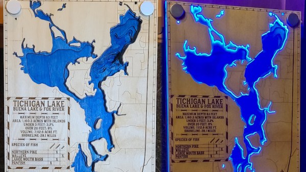
Created as a commission piece, the subject of the map is Tichigan Lake in Wisconsin, USA. Made on a Glowforge laser cutter, the design is built of layers of lasercut wood stacked up to represent the natural contours of the bottom of the lake. There’s also a layer of acrylic included, to which special standoffs are fitted. These standoffs hide blue LEDs inside, which allow the acrylic to be edge lit without the LEDs themselves being visible.
The final effect is impressive, with the blue water contrasting artfully with the laser-engraved wood front panel when the lights are turned on. It’s an excellent conversation piece, particularly for those with a waterfaring bent. It’s not the first bathymetric map we’ve featured, either, with this book serving as a particularly stunning example.


