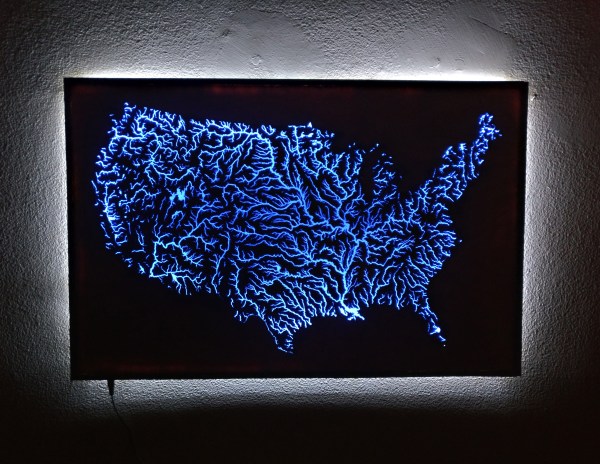
A recent convert to the ways of the laser cutter, redditor [i-made-a-thing] was in want of a project and — stumbling on some waterways maps on Etsy — launched into fabricating an illuminated map of all the waterways in the United States.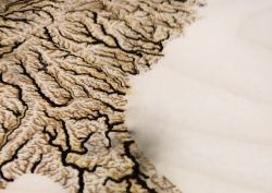
The map itself was laser-cut out of 1/4 inch plywood at his local makerspace. Thing is, smaller rivers and tributaries were too narrow at the scale [i-made-a-thing] wanted, so he ended up spending several hours in Photoshop preparing the image so larger rivers would be laser-cut — and not break off– while the rest would be etched onto the surface. After testing the process by making a few coasters, he was ready to get started on the real deal.
Continue reading “The Illuminated Waterways Of The United States”

