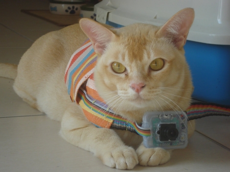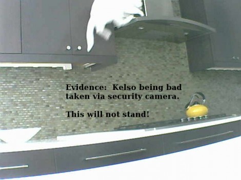
Our cats are not allowed on the kitchen counters, and [Iron Jungle] has the same rule. But he spotted some foot prints on the hood above his range and the addition of a security camera caught this picture of [Kelso] breaking the rules. Since he’s not always around to make the fur-ball behave he built an electronic cat trainer to do it for him.
The functionality needed isn’t very intricate. You need to monitor when the cat is where it shouldn’t be and then chase it away. For the latter he grabbed an infrared range finder. When the cat passes in front of the sensor it will trigger the second part of the system: a high-pitched buzzer that’s extremely loud. Any microcontroller will have no trouble driving the system. In this case it’s a PICAXE 28X1.
You can see the trainer in action after the break. It definitely works, because just playing the video chased our own sleeping kitty out of the room.
Continue reading “Cat Trainer Will Keep Them Off The Counters”

