Sometimes you need to create a satellite navigation tracking device that communicates via a low-power mesh network. [Powerfeatherdev] was in just that situation, and they whipped up a particularly compact solution to do the job.
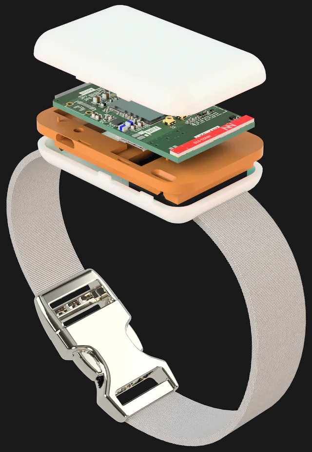
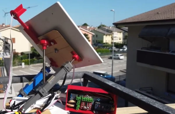
As you might have guessed based on the name of its creator, this build is based around the ESP32-S3 PowerFeather board. The PowerFeather has the benefit of robust power management features, which makes it perfect for a power-sipping project that’s intended to run for a long time. It can even run on solar power and manage battery levels if so desired. The GPS and LoRa gear is all mounted on a secondary “wing” PCB that slots directly on to the PowerFeather like a Arduino shield or Raspberry Pi HAT. The whole assembly is barely larger than a AA battery.
It’s basically a super-small GPS tracker that transmits over LoRa, while being optimized for maximum run time on limited power from a small lithium-ion cell. If you’re needing to do some long-duration, low-power tracking task for a project, this might be right up your alley.
LoRa is a useful technology for radio communications, as we’ve been saying for some time. Meanwhile, if you’ve got your own nifty radio comms build, or anything in that general milleu, don’t hesitate to drop us a line!