GPS and similar satellite navigation systems changed everything. The modern generation is far less likely to have had to fold a service station map or ask someone for directions on the side of the road. But GPS isn’t perfect. You need to see the sky, for one thing. For another, an adversary could jam or take down your satellites. Even a natural disaster could temporarily or permanently knock out your access to the satellites.
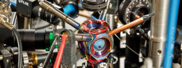
The people at Sandia National Labs worry about things like that and they want to replace GPS with quantum accelerometers and gyroscopes. The problem: those things take expensive and bulky vacuum systems and lasers. Sandia, however, has had a sealed device about the size of an avocado that weighs about a pound that could possibly do the job. Their goal is to see it work without maintenance for four more years.
This is no ordinary vacuum tube, though. It is made of titanium and sapphire. By itself, the device doesn’t do much of anything, but it shows that rubidium can be contained in a sealed chamber with no additional pumping. These quantum sensors aren’t anything new, but a tiny self-contained cold-atom sensor can pave the way for putting these sensors in vehicles like ships, aircraft, and ground vehicles. Submarines, which don’t usually have a clear shot at the sky without floating an antenna, are also candidates for the new technology.
A navigation system based on this technology uses a laser to cool the subject atoms and then measures their movements. This allows very precise determination of acceleration and rotation which allows for a more precise inertial navigation system.
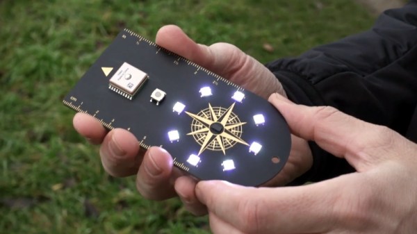
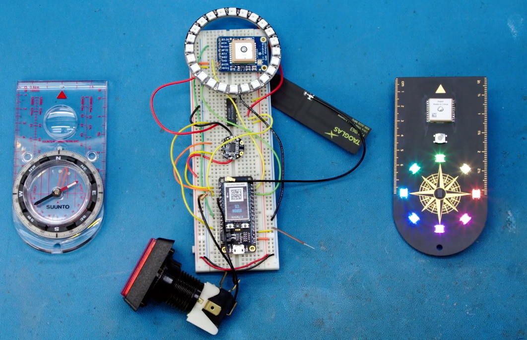
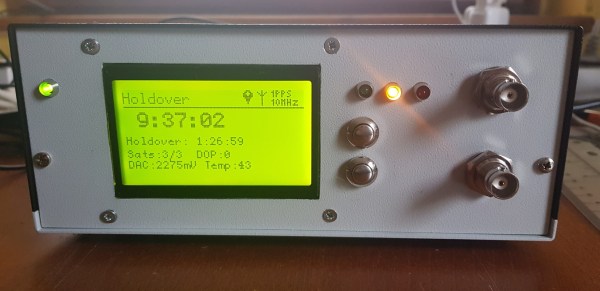
If you need a refresher on how GPS works, we can explain it. If you think the idea of a module containing rubidium is far-fetched, don’t forget you can already get them for precision clock work.