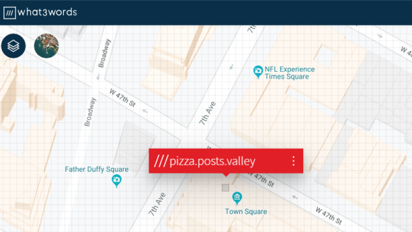
GPS is available on most smart phones, which is all well and good unless you drive out into a place with weak service. Unless you want to go into the before-time and buy a standalone GPS (and try to update the maps every so often) or go even further back and print out MapQuest directions, you’ll need another solution to get directions. Something like this project which sends Google Maps directions over SMS.
The project is called RouteMe by [AhadCove]. It runs on a Raspberry Pi at his home which is constantly monitoring an email inbox. Using Google Voice to forward incoming text messages as emails to the Pi, the system works when your phone has a cell signal but no data connection. The Pi listens for specific commands in that SMS-to-Email connection and is able to send directions back to the phone via text message. That’s actually a neat hack you may remember from the olden days where you can send email as SMS using the phone number as the address.
If you find yourself lost in the woods with just your phone often enough, [AhadCove] has all of the code and detailed directions on how to set this up on his GitHub site. But don’t discount this particular task, anything you can script on the Pi can now be controlled via SMS without relying on a service like Twilio.
This maps hack is a pretty ingenious solution to a problem that more than a few of us have had, and it uses a lot of currently-available infrastructure to run as well. If you want another way of navigating without modern tech, have a go at dead reckoning in a car.
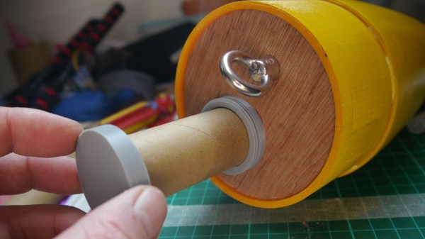
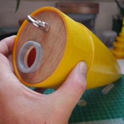 The payload container is a hollow tube with a 3D printed threaded adaptor attached to one end. Payload goes into the tube, and the tube inserts into a hole in the bulkhead, screwing down securely. The result is an easy way to send up something like a GPS tracker, possibly with a LoRa module attached to it. That combination is a popular one with high-altitude balloons, which, like rockets, also require people to retrieve them after not-entirely-predictable landings. LoRa wireless communications have very long range, but that doesn’t help if there’s an obstruction like a hill between you and the transmitter. In those cases,