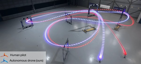
Drones are a pain, especially mini ones. When you are designing, building (or even reviewing) them, they inevitably fly off in some random direction, inevitably towards your long-suffering dog, hit him in the butt and send him scuttling off in search of a quieter spot for a nap.
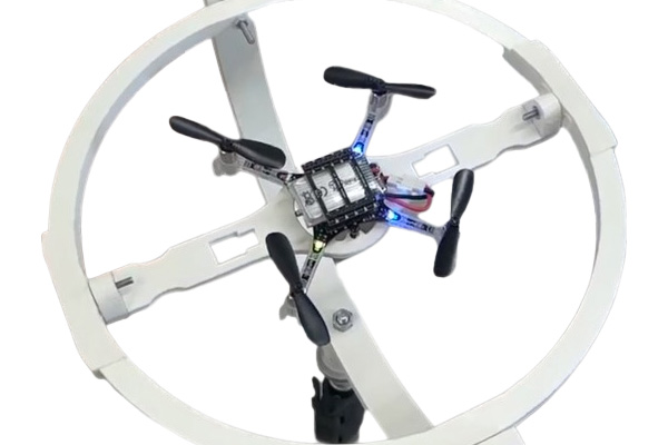
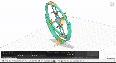
[Tristan Dijkstra] and [Suryansh Sharma] have a solution: a mini-drone test gimbal. The two are in the the Networked Systems group and the Biomorphic Intelligence Lab who use CrazyFlie drones in their work, which require regular calibration and testing. This excellent design allows the drone to rotate in three dimensions, while still remaining safely contained. That means I could test the flight characteristics of a drone without endangering my dogs important napping schedule.
Efforts involved attaching a light tether that restricts the drone until we know how the it flies, but what usually happens is that the tether gets trapped in a rotor, or the tether gets tight and the drone freaks out and crashes into the ground.
Using a gimbal is far more elegant, because it allows the drone to rotate freely in three dimensions, so the basic features of the drone can be established before you let it loose in the skies.
The gimbal was designed with the CrazyFlie in mind, but as there’s nothing more exotic holding the craft down than a zip tie, it should work with similarly sized quadcopters.