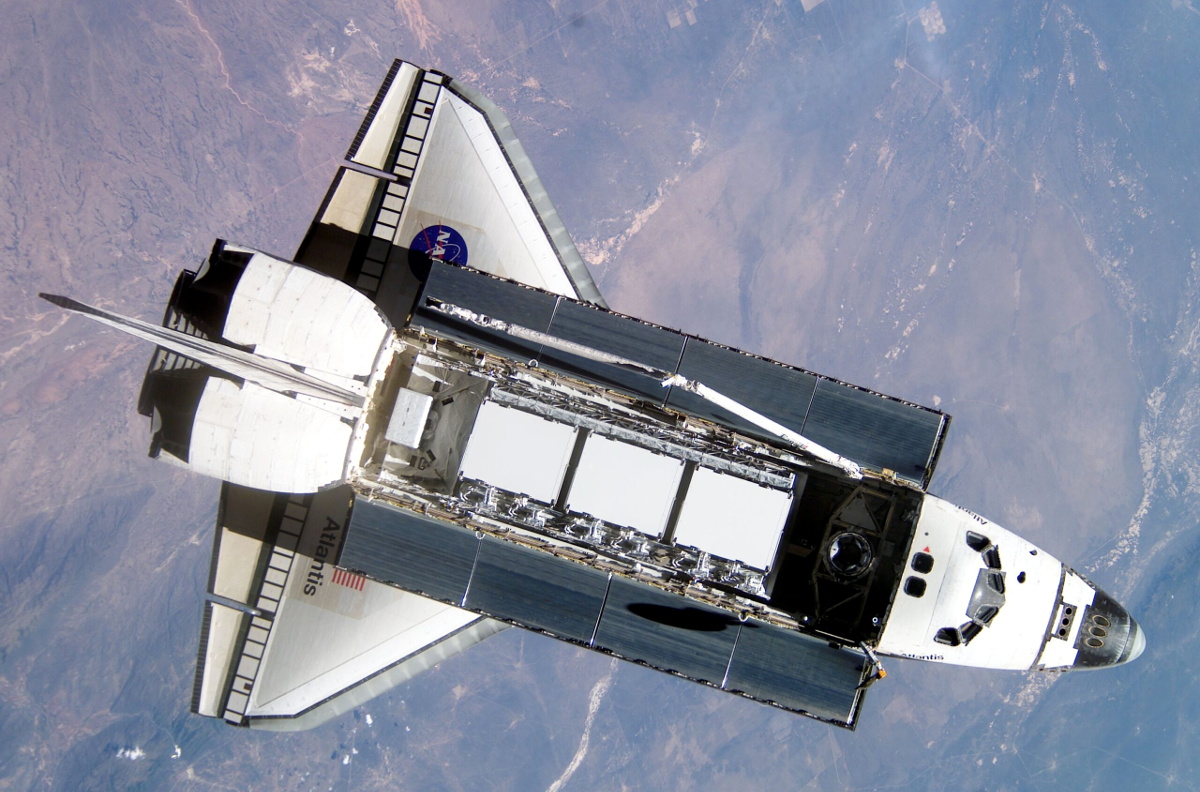
Spacing Out: StarShip Explodes (Again), Passenger Space Flight, Space Bugs, Astronaut Bone, And Martian Water

This time I promise I only have a couple of stories from Elon Musk’s company. SpaceX’s latest Starship test launch ended in another explosion, proving that space hardware remains hard to get right. We’ll keep watching as they keep launching, and it can’t be long until they’ve ironed out all the problems. Meanwhile there’s brighter news from the company’s Crew Dragon, a modified version of the capsule with the forward docking ring replaced by a transparent dome is planned for launch in September with the company’s first flight carrying civilian passengers. It’s doubtless unwelcome news for Virgin Galactic, whose suborbital passenger flights are edging closer to reality with the unveiling of their first SpaceShip III craft. Finally, a Falcon 9 upper stage broke up on re-entry over the northwestern USA, giving observers on the ground a spactacular show.

Spectacular view of the Falcon 9 debris. Via Lu Jerz

Meanwhile up there in orbit there have been found on the ISS some strains of bacteria previously unknown to scientists on Earth, but it’s not yet time to panic about Mutant Bugs From Space. It seems these bacteria are of a type that is essential in the growing of plants, so it’s likely they originally hitched a ride up with one of the several plant-growing experiments that have taken place over the station’s lifetime. Staying on the ISS, astronauts visiting the station have been at the centre of a recently published study looking at loss of bone density over long periods in space. The bone experts found that bone density could still be lost despite the astronauts’ in-flight exercise programs, and concluded that exercise regimes pre-flight should be taken into account for future in-orbit exercise planning.

Further away from Earth, the ESA Mars Express satellite has been used for a multi-year study of water loss to space from the Martian atmosphere. The ESA scientists identified the seasonal mechanism that leads to the planet’s upper atmosphere having an excess of water and in particular the effect of the periodic planet-wide dust storms on accelerating water loss, but failed to account for the water that they estimate Mars must have lost over its history. From a study of water-created surface features they can estimate how much liquid the planet once had, yet the atmospheric losses fail to account for it all. Has it disappeared underground? More studies are required before we’ll have an answer.

The exciting news over the coming days will no doubt be the Ingenuity Martian helicopter, which we have seen slowly unfolding itself prior to unloading from the belly of the Perseverence rover. If all goes according to plan the little craft will be set down before the rover trundles off to a safe distance, and the historic flight will take place on April 8th. We’ll be on the edges of our seats, and no doubt you will be, too.

Putting Perseverance Rover’s View Into Satellite View Context

It’s always fun to look over aerial and satellite maps of places we know, seeing a perspective different from our usual ground level view. We lose that context when it’s a place we don’t know by heart. Such as, say, Mars. So [Matthew Earl] sought to give Perseverance rover’s landing video some context by projecting onto orbital imagery from ESA’s Mars Express. The resulting video (embedded below the break) is a fun watch alongside the technical writeup Reprojecting the Perseverance landing footage onto satellite imagery.

Some telemetry of rover position and orientation were transmitted live during the landing process, with the rest recorded and downloaded later. Surprisingly, none of that information was used for this project, which was based entirely on video pixels. This makes the results even more impressive and the techniques more widely applicable to other projects. The foundational piece is SIFT (Scale Invariant Feature Transform), which is one of many tools in the OpenCV toolbox. SIFT found correlations between Perseverance’s video frames and Mars Express orbital image, feeding into a processing pipeline written in Python for results rendered in Blender.

While many elements of this project sound enticing for applications in robot vision, there are a few challenges touched upon in the “Final Touches” section of the writeup. The falling heatshield interfered with automated tracking, implying this process will need help to properly understand dynamically changing environments. Furthermore, it does not seem to run fast enough for a robot’s real-time needs. But at first glance, these problems are not fundamental. They merely await some motivated people to tackle in the future.

This process bears some superficial similarities to projection mapping, which is a category of projects we’ve featured on these pages. Except everything is reversed (camera instead of video projector, etc.) making the math an entirely different can of worms. But if projection mapping sounds more to your interest, here is a starting point.

[via Dr. Tanya Harrison @TanyaOfMars]

Continue reading “Putting Perseverance Rover’s View Into Satellite View Context”

Raspberry Pi Zero Beams Back Video From 100,000 Feet

The Project Horus team routinely launches high-altitude balloons in Australia. However, despite their desire for it, they haven’t beamed back live video. Until now. Horus 55 beamed video back to the ground from over 100,000 feet using a Raspberry Pi and some software-defined radio gear. Be sure and check out their video, below.

You might think this is easy, but there are many technical hurdles. First, the transmitter needs some power, but the thin atmosphere creates problems with cooling. In addition a really good receiving station is required, and the project wanted to stream that video to the Internet, which they were able to do.

The balloon carried a Raspberry Pi Zero W to capture and compress video. A LimeSDR Mini provided the DVB-S transmission on 70cm along with a power amplifier to get to about 800mW. Power dissipation in the payload was about 6 watts and required a special heat sink system to operate. The payload was powered by eight lithium AA primary cells, which perform well at low temperatures.

Continue reading “Raspberry Pi Zero Beams Back Video From 100,000 Feet”

How Fast Is The Universe Expanding? The Riddle Of Two Values For The Hubble Constant

In the last decades, our understanding of the Universe has made tremendous progress. Not long ago, “precision astronomy” was thought to be an oxymoron. Nowadays, satellite experiments and powerful telescopes on earth were able to measure the properties of our Universe with astonishing precision. For example, we know the age of the Universe with an uncertainty of merely 0.3%, and even though we still do not know the origin of Dark Matter or Dark Energy we have determined their abundance with a precision of better than 1%.

There is, however, one value that astronomers have difficulty in pinning down: how fast our universe is expanding. Or, more precisely, astronomers have used multiple methods of estimating the Hubble constant, and the different methods are converging quite tightly on two different values! This clearly can’t be true, but nobody has yet figured out how to reconcile the results, and further observations have only improved the precision, deepening the conflict. It’s likely that we’ll need either new astronomy or new physics to solve this puzzle.

The Discovery of the Expanding Universe

In the 1920s Edwin Hubble used the newly built telescope at Mount Wilson Observatory to study fuzzy objects known as nebulae. Back then, astronomers were arguing whether these nebulae are clouds of stars within our Milky Way or if they are whole different galaxies. Hubble discovered stars within these nebulae whose brightness slowly fades in and out. These were known as Cepheids and previously studied by Henrietta Levitt who showed that there was a tight relationship between the star’s intrinsic brightness and the period of its variation. This means Cepheids could be used as so-called standard candles which refers to objects whose absolute brightness is known. Since there is a simple relationship between how the brightness of an object decreases with distance, Hubble was able to calculate the distance of the Cepheids by comparing their apparent and intrinsic brightness. He showed that the Cepheid stars were not located within our galaxy and that nebulae are actually distant galaxies.

Hubble also measured the velocity at which these distant galaxies are moving away from us by observing the redshifts of spectral lines caused by the Doppler effect. He found that the further away the galaxy is located, the faster it is moving away from us described by a simple linear relationship.

\bf v = H_0 d

The parameter H0 is what is known as the Hubble constant. Later the Belgian priest and physicist Georges Lemaître realized that the velocity-distance relationship measured by Hubble was evidence for the expansion of the Universe. Since the expansion of space itself causes other galaxies to move away from us we are not in any privileged location but the same effect would be measured from any other place in the Universe. An effect that is sometimes illustrated by drawing points on a balloon, when it is inflated the points move away from each other at a speed that depends on their distance. It is also better not to think of the cosmological redshift as being caused by a real velocity as the parameter v in the above equation can easily exceed the speed of light. Continue reading “How Fast Is The Universe Expanding? The Riddle Of Two Values For The Hubble Constant”

South Korean Mapping Satellite Reaches Orbit

South Korea’s space program achieved another milestone yesterday with the launch of the first Compact Advanced Satellite 500 (CAS500) in a planned series of five vehicles. A second-generation Russian Soyuz 2.1a lifted the Korean-made CAS500-1 from historic Baikonur Cosmodrome in southern Kazakhstan and successfully placed it into a 500 km sun-synchronous orbit, inclined by 97.7 degrees or 15 orbits/day. Living up to its reputation as a workhorse, the Soyuz then proceeded to deposit multiple other satellites into 600 km and 550 km orbits. The satellite is pretty substantial, being 2.9 m tall and 1.9 m diameter and topping the scales at 500 kg. (Don’t be confused, like we were, by this Wikipedia article that says it is a 1.3 kg CubeSat.)

South Korea already has over a dozen satellites in orbit, and the CAS500 adds a modular space platform to the mix. It was designed by the Korea Aerospace Research Institute (KARI) to provide a core backbone which can be easily adapted to other missions, not unlike a car manufacturer that sells several different models all based on the same underlying chassis. Another down-to-earth goal of the CAS500 program was to foster the transfer of core technologies from state-owned KARI to private industry. We wonder how such figures are calculated, but reportedly 91.3% of CAS500-1 was made in Korea. Subsequent flights will further involve local services and industry.

The purpose of the first two satellites is to provide images to the private sector, for example, online mapping and navigation platforms. How popular this will be is yet to be determined — as one local newspaper notes, the 2 meter image resolution (50 cm in monochrome) pales in comparison to Google’s advertised 15 cm resolution. The next three satellites will focus on space science imagery.

The Soyuz launch is shown below, and this short video clip from KARI shows a nice animation of the satellite. Try not to cringe at the simulated whooshing sound as two satellites pass each other in the vacuum of space — turn down the volume if you need to.

Continue reading “South Korean Mapping Satellite Reaches Orbit”

A Milky Way Photo Twelve Years In The Making

Starting projects is easy. It’s the finishing part that many of us have trouble with. We can hardly imagine completing a project after more than a decade, but seeing the breathtaking results of [J-P Metsavainio]’s gigapixel composite image of our galaxy might just make us reconsider. The photograph, which we highly suggest you go check out in its full glory, has been in progress since 2009, features 1250 total hours of exposure time, and spans across 125 degrees of sky. It is simply spectacular.

Of course, it wasn’t an absolutely continuous effort to make this one image over those twelve years. Part of the reason for the extended time span is many frames of the mosaic were shot, processed, and released as their own individual pieces; each of the many astronomical features impressive in its own right. But, over the years, he’s filled in the gaps between and has been able to release a more and more complete picture of our galactic home.

A project this long, somewhat predictably, eventually outlives the technology used to create it. Up until 2014, [Metsavainio]’s setup included a Meade 12-inch telescope and some modified Canon optics. Since then, he’s used a dedicated equatorial mount, astrocamera, and a Tokina lens (again, modified) with an 11-inch Celestron for longer focal lengths. He processes the frames in Photoshop, accounting for small exposure and color differences and aligning the images based on background stars. He’s had plenty of time to get his process down, though, so the necessary tweaking is relatively minor.

Amateur astronomy is an awesome hobby, and the barrier to entry is lower than it might seem. You can get started on a budget with the ubiquitous Raspberry Pi or with the slightly less practical Game Boy Camera. And if you’re just interested in viewing the cosmos, there are options for building your own telescope as well.

[via PetaPixel]

A Technical (But Not Too Technical) Explanation Of Landing Perseverance Rover On Mars

There was a lot of enthusiasm surrounding Mars arrival of Perseverance rover, our latest robotic interplanetary explorer. Eager to capitalize on this excitement, NASA JPL released a lot of information to satisfy curiosity of the general public. But making that material widely accessible also meant leaving out many technical details. People who crave just a little more can head over to How NASA’s Perseverance Landed On Mars: An Aerospace Engineer Breaks It Down In Fascinating Detail published by Jalopnik.

NASA JPL’s public materials mostly explained the mission in general terms. Even parts with scientific detail were largely constrained for a target audience of students K-12. Anyone craving more details can certainly find them online, but they would quickly find themselves mired in highly technical papers written by aerospace engineers and planetary geologists for their peers. There is a gap in between those extremes, and this write-up slots neatly in that gap. Author [Brian Kirby] is our helpful aerospace engineer who compiled many technical references into a single narrative of the landing, explained at a level roughly equivalent to undergraduate level math and science courses.

We get more details on why the target landing site is both geologically interesting and technically treacherous, requiring development of new landing smarts that will undoubtedly help future explorers both robotic and human. The complex multi-step transition from orbit to surface is explained in terms of managing kinetic energy. Condensing a wide range of problems to a list of numbers that helps us understand why, for example, a parachute was necessary yet not enough to take a rover all the way to the surface.

Much of this information is known to longtime enthusiasts, but we all had to get our start somewhere. This is a good on-ramp for a new generation of space fans, and together we look forward to Perseverance running down its long and exciting to-do list. Including flying a helicopter, packing up surface samples of Mars, and seeing if we can extract usable oxygen from Martian atmosphere.