GPS Guided Parachutes For High Altitude Balloons

Most amateur high altitude balloon payloads descend back to earth with a simple non-steerable parachute and can land hundreds of kilometers from the launch site in inaccessible areas. [Yohan Hadji] experienced this first-hand during a balloon launch conducted by his high school, which inspired him to R2Home, a GPS-guided parachute recovery system.

A Teensy runs the show, and controls a pair of sail winch servos pulling the brake lines

[Yohan]’s first challenge was to create a steerable parachute that can deploy reliably, so he started doing tests with a borrowed scale model paragliding wing. He quickly learned that a canopy aspect ratio of below two was needed for reliable deployment, so he started sewing his own canopies. Steering a parachute involves pulling on a pair of brake lines, one for each side of the parachute. A control stroke of about 20 cm was required, and [Yohan] found that RC sailboat winch servos work perfectly for this application. The entire system is designed to fit in a 7×40 cm tube, and the parachute is deployed with the help of a small drogue chute and a servo-operated release mechanism.

[Yohan] is working on a custom flight controller, built around a Teensy 4.1, GPS receiver, and digital compass. A possible alternative is Ardupilot, which we’ve seen used on several autonomous drones, gliders, and rovers. While this system might not be possible to return to the launch point, it could certainly close the gap, and land safely in a designated area.

So far [Yohan] has done a series of test drops from a drone at low altitude to test deployment and steering, using an RC controller. The project is open source, and the mechanical design files and control code is up on GitHub. As with most 16-year-olds, [Yohan]’s resources are limited, so feel free to drop him some financial help on the R2Home GoFundMe page. See the videos after the break for a development montage and project presentation. Continue reading “GPS Guided Parachutes For High Altitude Balloons”

V12 Corvette Gets Electronic Gauge Mod

[Wesley Kagan] is building a Corvette with a V12 engine swap. Much of the driveline will be entirely replaced, which means the components to drive the mechanical speedometer and tachometer will no longer be present in the final car. Instead, [Wesley] came up with his own electronic gauge conversion to do the job.

It’s a build that respects the original aesthetic of the car, reusing the original gauges but driving them differently. In place of the original mechanical drives from the transmission and distributor respectively, the speedometer and tach instead get servos installed in the back with a 3D printed gear train. The odometer gets its own continuous rotation servo, too. An Arduino Nano is used to drive the servos, using data from a GPS module and the car’s ignition system.

Files are available for anyone wishing to 3D print parts to modify their own gauges. We can’t wait to see how the gauges look when finally installed. We can imagine some teething problems with slew rate or update speed, but we’re sure it’s nothing [Wesley] can’t engineer out with a few revisions. Custom gauges are something we’ve seen a few times around these parts; this digital setup is particularly useful for engine data. Video after the break.

Continue reading “V12 Corvette Gets Electronic Gauge Mod”

Larry Berg And The Purple Open Passion Project

It all started with an 88-ton Arburg RP300 injection molding machine in the basement, and a bit of inattention. Larry Berg wanted a couple custom plastic plugs for his Garmin GPS, so he milled out a mold and ran a few. But he got distracted, and came back an hour later to find that his machine had made 400. Instead of throwing them away, he mailed them away for free, but then he found that people started throwing money at him to make more. People all over the world.

This is how the Purple Open Project turned into an global network of GPS geeks, selling molded alternatives to the oddball Garmin plugs for pledges to pay an unspecified amount, and ended up producing over 350,000 plugs over 16 years before he passed away in 2012. This is the story of a hacker’s hacker, who wanted to be able to connect his GPS to his computer and use it the way he wanted, and accidentally created an international business.

Continue reading “Larry Berg And The Purple Open Passion Project”

Turn-by-turn Smart Glasses Give You Direction

[SamsonMarch] designs electronic products by day and — apparently — does it in his spare time, too. His latest is a pair of really cool shades that give him turn-by-turn directions as he walks around town. Unlike some smart glasses, these get around the difficult problem of building a heads-up display by using a very simple interface based on colored LEDs visible to your peripheral vision in the temples of the frames.

The glasses themselves look great; designed in Fusion 360 and cut out of wood, no one would give them a second glance. [Sam] says you could 3D print them, too, but we think the wood looks best even if the stock is a cheap bamboo cutting board. He also cut the lenses out of acrylic.

The slots in the temples are where the action is, though. An iPhone app takes input and talks to Apple services to get directions. A lot of thought went into making the app work even though the phone keeps trying to put it to sleep. Each PCB hosts an RGB LED for indicating left/right turn and destination. They talk to the app using BLE and include accelerometers which put the boards — powered by coin cells — into sleep mode when no movement is detected.

Overall a fun and good looking project. There are even covers to hide the boards during normal use. The files you need to reproduce it are on GitHub. Usually, when we see smart glasses, they have some sort of screen which is harder to do. Of course, it is impossible to avoid comparisons to Google Glass.

Continue reading “Turn-by-turn Smart Glasses Give You Direction”

Hello From The NearSpace

A key challenge for any system headed up into the upper-atmosphere region sometimes called near space is communicating back down to the ground. The sensors and cameras onboard many high altitude balloons and satellites aren’t useful if the data they collect can’t be retrieved. Often times, custom antennas or beacons are added to help. Looking at the cost and difficulty of the problem, [arko] and [upaut] teamed up to try and make a turn-key solution for any near-space enthusiast by building CUBEX, a wonderful little module with sensors and clever radio that can be easily reused and repurposed.

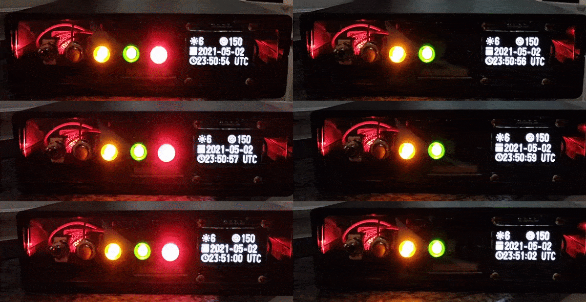
CUBEX is meant as a payload for a high-altitude balloon with a camera, GPS, small battery, solar cell, and the accompanying power management circuits. The clever bit comes in the radio back down. By using the 434.460 Mhz band, it can broadcast around a hundred miles at 10mW. The only hardware to receive is a radio listener (a cheap RTL USB stick works nicely). Pictures and GPS coordinates stream down at 300 baud.

Their launch was quite successful and while they didn’t catch a solar eclipse, their balloon reached an impressive 33698m (110,560ft) while taking pictures. Even though it did eventually splashdown in the Pacific Ocean, they were able to enjoy a plethora of gorgeous photos thanks to their easy and cost-effective data link.

Continue reading “Hello From The NearSpace”

Under The Sea GPS Uses Sound

If you’ve ever tried to use GPS indoors, you know that the signals aren’t easy to acquire in any sort of structure. Now imagine trying to get a satellite fix underwater. Researchers at MIT have a new technique, underwater backscatter localization or UBL, that promises to provide a low-power localization system tailored for the subsea environment.

Like other existing solutions, UBL uses sound waves, but it avoids some of the common problems with using sonic beacons in that environment. A typical system has a fixed beacon constrained by the availability of power or battery-operated beacons that require replacement or recharging. Since the beacon acts as a transponder — it receives a signal and then replies — it requires either constant power or time to wake up from the external stimulus and that time typically varies with the environment. That variable startup time interferes with computing the round-trip time of the signal, which is crucial for estimating position.

Continue reading “Under The Sea GPS Uses Sound”

Untethered: Fishing Without Lines

There’s a laundry list of ways that humans are polluting the earth, and even though it might not look like it from the surface, the oceans seem to bear the brunt of our waste. Some research suggests that plastic doesn’t fully degrade as it ages, but instead breaks down into smaller and smaller bits that will be somewhere the in environment for such a long time it could be characterized in layman’s terms as forever.

Not only does waste of all kinds make its way to the oceans by rivers or simply by outright dumping, but commercial fishing gear is estimated to comprise around 10% of the waste in the great blue seas, and one of the four nonprofits help guide this year’s Hackaday Prize is looking to eliminate some of that waste and ensure it doesn’t cause other problems for marine life. This was the challenge for the Conservation X Labs dream team, three people who were each awarded a $6,000 micro-grant to work full time for two months on the problem.

It isn’t about simply collecting waste in the ocean, but rather about limiting the time that potentially harmful but necessary fishing equipment is in the water in the first place. For this two-month challenge, this team focused on long lines used by professional fishing operations to attach buoys to gear like lobster pots or crab traps. These ropes are a danger to large ocean animals such as whales when they get tangled in them and, if the lines detach from the traps, the traps themselves continue to trap and kill marine life for as long as they are lost underwater. This “ghost gear” is harmful in many different ways, and reducing its time in the water or “soak time” was the goal for the project.

Let’s take a closer look at their work after the break, and we can also see the video report they filed as the project wrapped up.

Continue reading “Untethered: Fishing Without Lines”